Parker Jenkins · 4 November 2026
Grovehill's Young Residents Harness Debate Skills in Discussions on Creek Flooding and Traffic Management
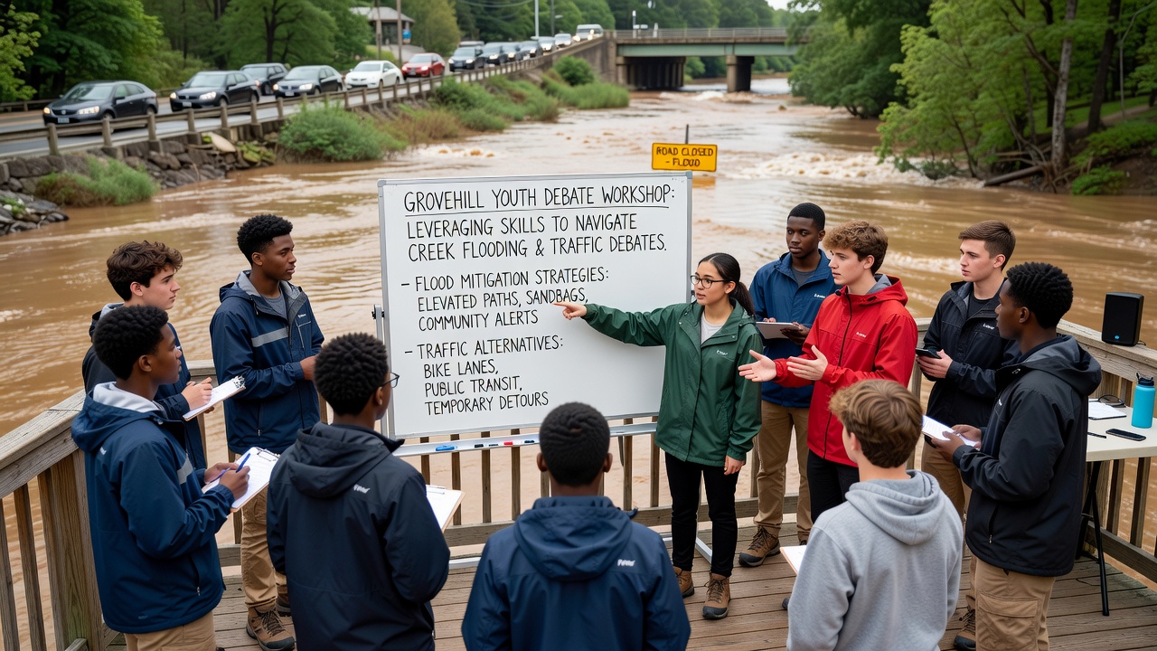
Young people in Grovehill have begun applying structured debate techniques to community discussions about creek flooding along the eastern waterways and ongoing traffic congestion on Main Street and adjacent routes, with activities gaining momentum ahead of planned public forums in November 2026. Local schools introduced debate clubs several years ago as part of extracurricular programs, and participants now transfer those skills to real-world topics that affect daily life in the area.
Background on Local Challenges
Creek systems in Grovehill have shown increased flooding during seasonal rains, with records from the past decade indicating rises in water levels that impact residential zones and parklands near the banks. Traffic patterns have shifted as population growth brings more vehicles onto narrow roads, creating bottlenecks at key intersections during morning and evening hours. Municipal reports document these patterns through traffic counts and hydrological surveys conducted by regional engineering teams.
Students from Grovehill High and nearby middle schools formed working groups that review data on both issues, then structure arguments around evidence rather than personal views. One study revealed that participants practiced opening statements, rebuttals, and closing summaries before attending town hall meetings, which allowed them to present points clearly during limited speaking slots.
Application of Debate Methods to Flooding Concerns
Debate training emphasizes defining terms, citing sources, and addressing counterpoints, and these elements appear in sessions focused on creek management. Youth representatives examined rainfall data alongside soil absorption studies, then outlined proposals such as expanded retention basins and vegetation buffers. They referenced measurements from monitoring stations that track peak flows after storms, which helps frame discussions about infrastructure upgrades scheduled for the coming years.
Observers note that the format keeps exchanges orderly when multiple stakeholders share the floor, since each side receives equal time to respond. In one instance, students highlighted engineering assessments that compare different barrier designs, while acknowledging budget constraints listed in city planning documents. This approach mirrors formats used in academic competitions yet adapts to the specifics of local hydrology reports.
Extension to Traffic Debates
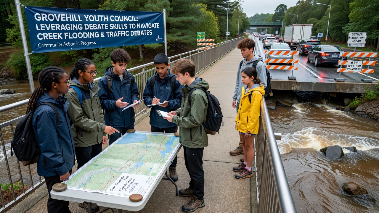
The same cohort turned attention to traffic volumes after noticing overlaps with flooding, since heavy rains sometimes close alternate routes and worsen backups. They compiled statistics on commute times from transportation department logs, then constructed cases for synchronized signals and dedicated bike lanes that could distribute flow. Data from similar mid-sized communities provided benchmarks, including figures released by the Australian Bureau of Infrastructure, Transport and Regional Economics on signal timing improvements.
During practice rounds, participants rehearsed cross-examination segments that questioned assumptions about road widening versus public transit enhancements. City planners attended several of these sessions in 2025 and later invited the groups to contribute to advisory panels ahead of the November 2026 hearings. The process demonstrates how skills developed for competition transfer to policy input without requiring changes to existing municipal procedures.
Community Integration and Documentation
Local libraries and community centers host the youth-led workshops, where attendance logs show consistent participation from residents across age groups. Facilitators record the sessions and post summaries on the municipal website, creating a public archive that tracks evolving positions on both flooding mitigation and traffic adjustments. These records include references to external analyses, such as urban planning reviews published by the European Environment Agency on integrated water and mobility strategies.
Participants maintain neutral language during exchanges, focusing on verifiable measurements like cubic meters of runoff or average vehicle delay minutes. This method aligns with guidelines from regional planning offices that encourage evidence-based input from all demographics, including those still in secondary education.
Conclusion
Records from Grovehill indicate that structured debate continues to serve as a tool for organizing community input on creek flooding patterns and traffic volumes, with preparations underway for expanded forums in November 2026. The approach draws on existing school programs and municipal data channels to keep discussions grounded in documented measurements and engineering evaluations. Further updates will appear through official town channels as the schedule progresses.