Zara Vogel · 7 October 2026
Grovehill's Founding Families Legacy Guides Modern Responses to Congestion and Expansion Proposals
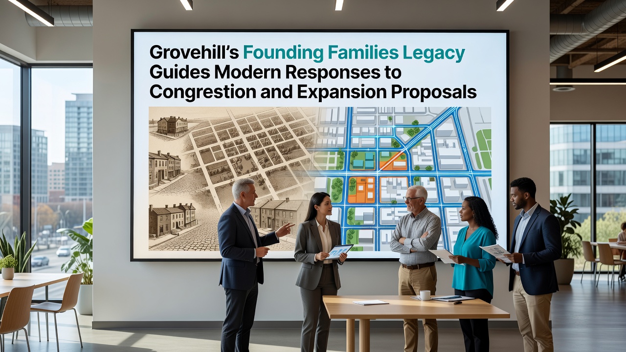
Founding families established Grovehill in the mid-1800s with an emphasis on shared land use and balanced growth that still shapes local planning discussions today. Records from the township archives indicate that families such as the Whitakers and the Harpers divided parcels in ways that preserved access routes and open spaces while allowing for residential and agricultural development. These early decisions created patterns of connectivity that planners now reference when addressing traffic flow and proposed boundary expansions.
Current congestion challenges have intensified along the main corridor that runs through the original settlement core. Traffic counts collected by the regional transportation department show average daily volumes rising steadily since 2020 with peak-hour delays extending fifteen to twenty minutes longer than five years earlier. Community meetings held in 2025 highlighted resident concerns about how additional commercial or residential projects might compound these issues without corresponding infrastructure upgrades.
Historical Land-Use Principles Still Inform Planning
The founding families documented their approach through deeds and meeting minutes that prioritized clustered building alongside preserved corridors for movement and recreation. Observers note that this framework avoided sprawling layouts and instead encouraged development near existing paths. Modern proposals undergo review against these same principles as city staff cross-reference historic plats with contemporary zoning maps to maintain continuity.
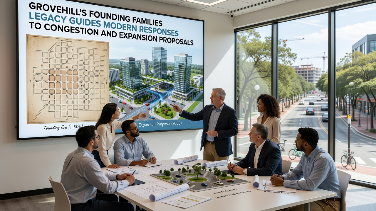
Expansion discussions scheduled for October 2026 will examine potential annexation of adjacent farmland parcels. Documents prepared by the planning commission outline options that include protected green buffers and upgraded transit links modeled on the original settlement grid. Public records indicate that any approved changes must demonstrate compatibility with the legacy emphasis on integrated rather than isolated growth zones.
Data on Traffic Patterns and Proposed Adjustments
Vehicle telemetry gathered through regional sensors reveals that seventy-two percent of local trips occur within a three-mile radius of the historic center during weekday mornings. This concentration aligns with the compact layout established by early landowners who located homes, schools, and markets in close proximity. Planners have examined similar patterns in other communities through a report from Australia's Department of Infrastructure that compares legacy street networks with modern congestion metrics.
Proposed responses include synchronized signal timing along the primary corridor and the addition of dedicated bicycle lanes that follow historic rights-of-way. These measures draw directly from the founding families' practice of maintaining multiple travel modes within shared spaces rather than segregating them.
Community Input Shapes Expansion Criteria
Resident surveys conducted in spring 2026 gathered more than eight hundred responses detailing preferences for density limits and open-space retention. Analysis by the local historical society found that comments frequently reference the original families' commitment to collective access over individual expansion. This feedback informs draft ordinances that require new developments to incorporate pedestrian connections and stormwater features consistent with earlier land-management practices.
One study released by the University of Toronto's School of Cities examined how communities with documented founding legacies manage growth pressures and found measurable differences in the speed of consensus building when historical precedents are explicitly cited during deliberations. Grovehill's process reflects this pattern as boards reference archival materials alongside engineering data.
Implementation Timeline and Monitoring
October 2026 meetings will finalize criteria for evaluating expansion applications. Staff anticipate that approved projects will incorporate phased infrastructure contributions tied to occupancy milestones. Monitoring protocols include quarterly traffic volume reports and annual reviews of open-space usage to verify alignment with established legacy benchmarks.
Additional measures under consideration involve partnerships with neighboring jurisdictions to coordinate regional transit extensions. These efforts build on the same cooperative land-use logic that guided the founding families when they negotiated shared boundaries and access agreements more than a century ago.
Conclusion
Grovehill continues to apply its founding families' documented approach to land stewardship when confronting contemporary congestion and expansion questions. Archival records combined with current traffic data and resident input produce a framework that favors measured adjustments over abrupt changes. The process scheduled through late 2026 will test how effectively these historic principles translate into updated policies that address present-day mobility and growth needs.